
Property Details
location
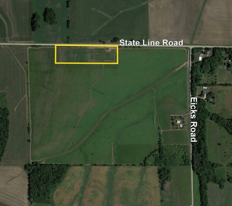
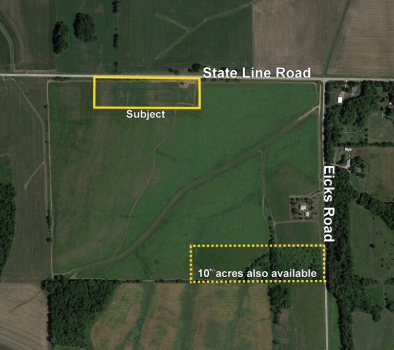
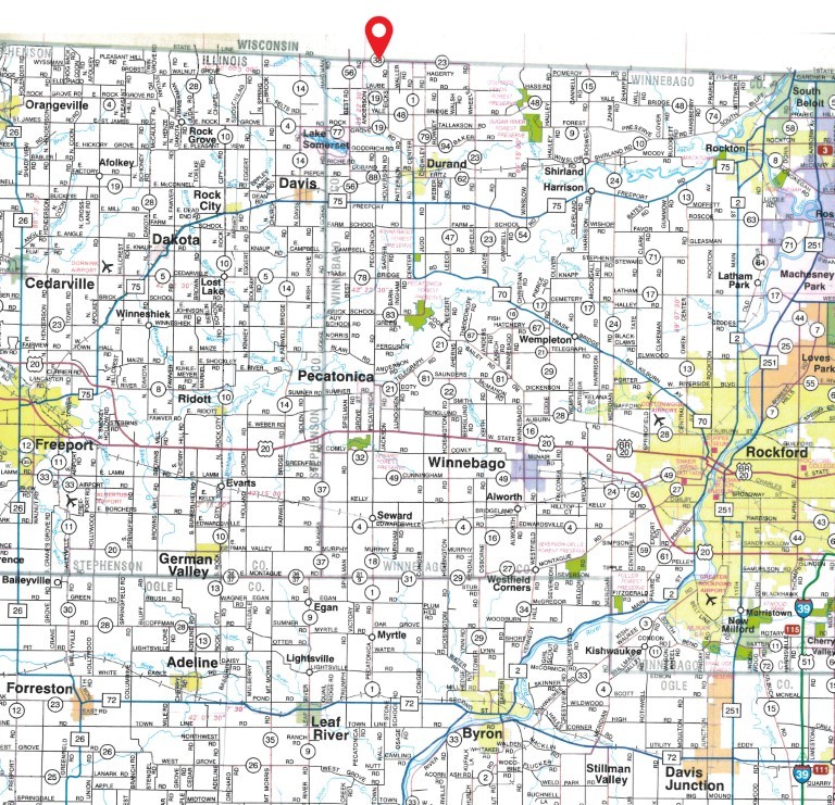
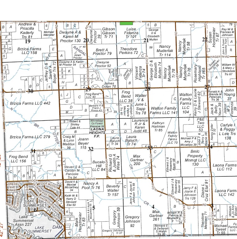
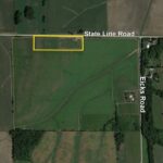
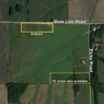
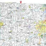
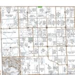
The subject farm is located approximately 82 miles northwest of Chicago O'Hare International Airport. Nearby cities include: Durand (4 1/4 miles south), South Beloit (14 1/4 miles east), Rockford (15 1/4 miles southeast), and Broadhead, WI (7 1/4 miles north). The property address is 16284 State Line Road, Durand, IL 61024.
frontage
There is approximately 7/32 mile of road frontage on State Line Road.
major highways
Illinois Route 70 is 4 1/2 miles southeast, Illinois Route 75 is 5 1/2 miles south, and Interstate 90 is 18 1/2 miles east of the property.
legal description
A brief legal description indicates The State Line Property is located in Part of the Northwest Quarter of Section 21, Township 29 North – Range 10 East (Laona Township), Winnebago County, Illinois.
total acres
There are a total of 8 acres, more or less, according to the Winnebago County Assessor.
tillable acres
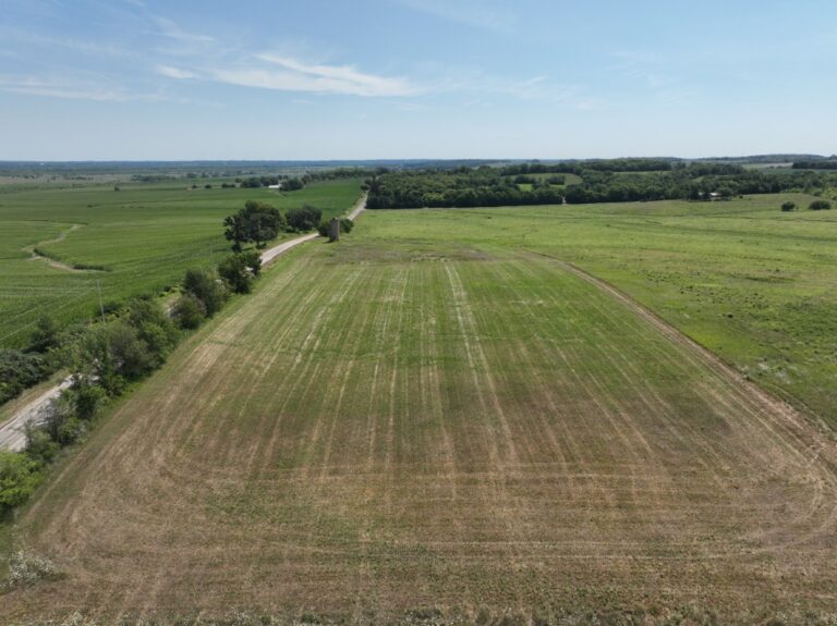
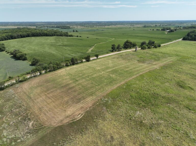
There are approximately 7 cropland acres, estimated.
soil types
Major soil types found on this farm include Rockton and Dodgeville soils and Whalan and NewGlarus silt loams. The weighted average Productivity Index (PI) is 90.2.
topography
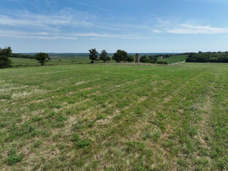
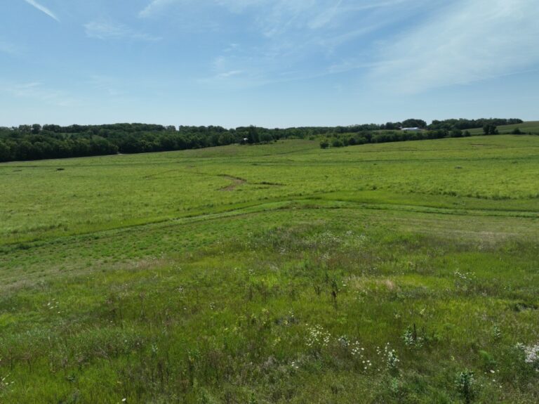
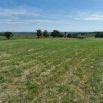
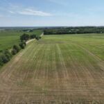
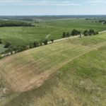
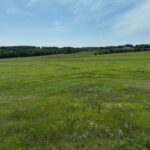
The topography of the subject farm is gently rolling.
mineral rights
All mineral rights owned by the seller will be transferred in their entirety to the new owner.
possession
Possession will be given at closing, subject to the terms and conditions set forth in a purchase contract.
price terms
The total asking price is $125,000. A 10% earnest money deposit should accompany any offer to purchase.
financing
Mortgage financing is available from several sources. Names and addresses will be provided upon request.
taxes
The 2025 real estate taxes totaled $124.34. The tax parcel number is #01-21-100-003.
grain markets
There are a number of grain markets located within 15 miles of The State Line Property.
zoning
The property is zoned AG, Agricultural Priority. According to the Winnebago County Zoning Department this lot meets the required 5 acre and 250 feet of road frontage requirements for buildability in the AG District. Information on Single-Family Dwellings in the AG District is available in the Appendix. Please contact the Winnebago County Zoning Department for specific details on future buildability.
comments
The State Line Property is a potential homesite offering scenic views of the surrounding Illinois and Wisconsin countryside. Conveniently located less than 10 minutes from Lake Summerset and in close proximity to Roscoe, Rockton, Rockford, and Beloit.