
Property Details
location
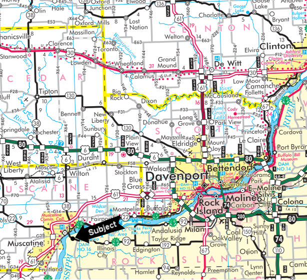
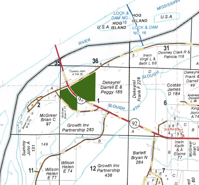
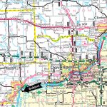
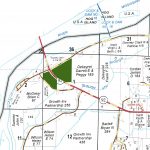
The subject farm is located approximately 165 miles southwest of Chicago O'Hare International Airport. Nearby cities include: Muscatine (3/8 mile north), Davenport (19 miles east), and Rock Island (20 miles east).
frontage
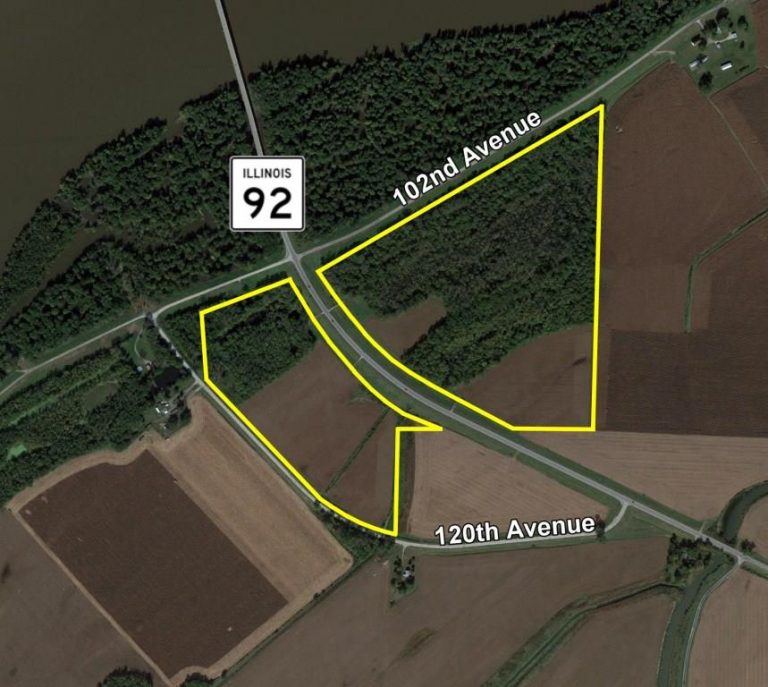
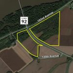
There is approximately 3/8 mile of road frontage on Illinois Route 92, 7/16 mile on 120th Avenue and 11/16 mile on 102nd Avenue.
major highways
Illinois Route 92 intersects the property, Iowa State Route 38 is 3/4 mile north, and U.S. Route 61 is 2 1/2 miles north of the property.
legal description
A brief legal description indicates The Route 92 Property is located in Part of the West Half of Section 1, Township 16 North - Range 6 West (Drury Township), Rock Island County, Illinois.
total acres
There are a total of 94.439 acres, more or less, according to the Rock Island County Treasurer's Office.
tillable acres
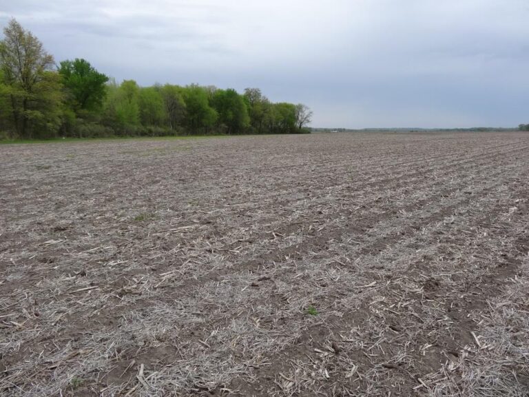
There are approximately 34.53 tillable acres according to the Mercer County FSA.
soil types
The primary soil type on this property is Sawmill silty clay loam.
topography
The topography of the subject property is level.
mineral rights
All mineral rights owned by the seller will be transferred in their entirety to the new owner.
possession
Possession will be given at closing, subject to the terms and conditions set forth in a purchase contract.
price terms
The asking price is $5,250 per acre. The owners are seeking a cash sale. A 10% earnest money deposit should accompany any offer to purchase.
financing
Mortgage financing is available from several sources. Names and addresses will be provided upon request.
taxes
The 2016 real estate taxes totaled $464.52. The tax parcel number is #1901100001. The property lies within the Drury Drainage and Levee District and is subject to an annual maintenance tax, in addition to the real estate tax.
grain markets
There are a number of grain markets located within 15 miles of The Route 92 Property.
zoning
The Route 92 property is zoned "AG1?" - Agricultural.
comments
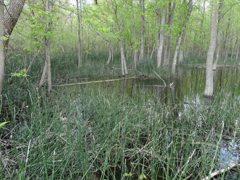
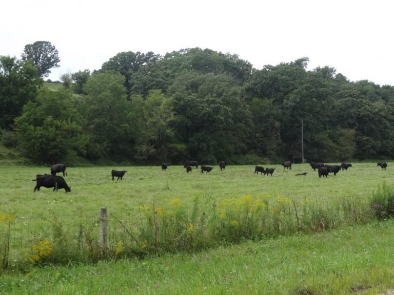
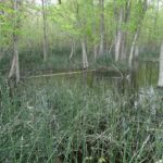
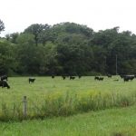
Well located recreational property with productive tillable acres. Extensive drainage tile improvements. Seller will consider offers on less than the entire property.