
Property Details
location
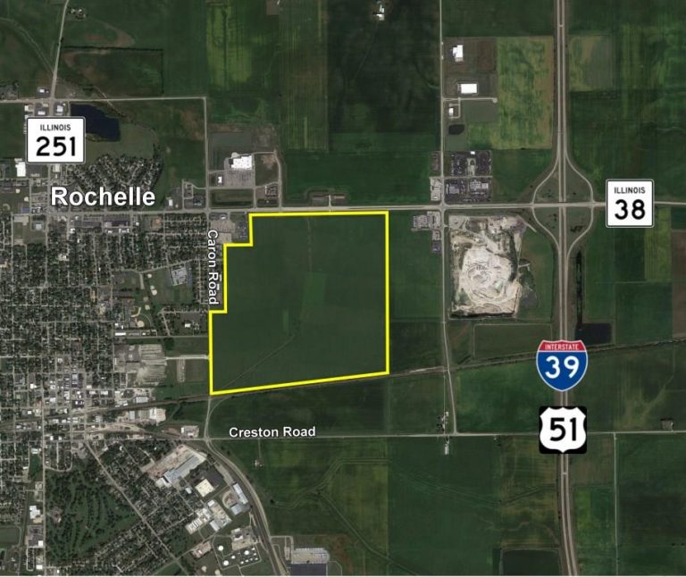
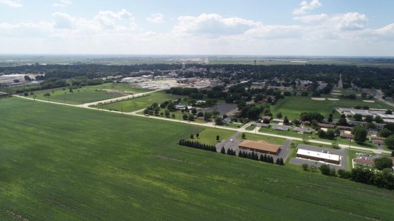
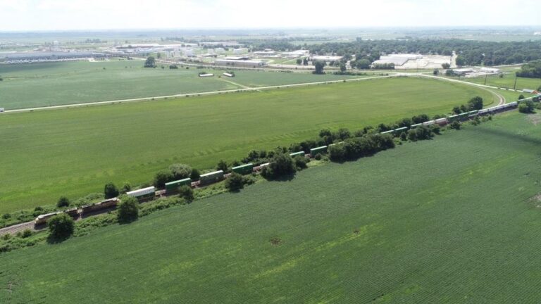
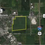
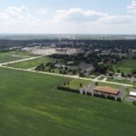
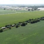
The subject farm is located approximately 58 miles west of Chicago O’Hare International Airport and is within the city of Rochelle. Nearby cities include: DeKalb (12 1/2 miles east), Rockford (16 1/4 miles north), and Dixon (20 5/8 miles southwest).
frontage
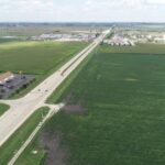
There is approximately 5/8 mile of road frontage on Illinois Route 38 and 3/8 mile on Caron Road.
major highways
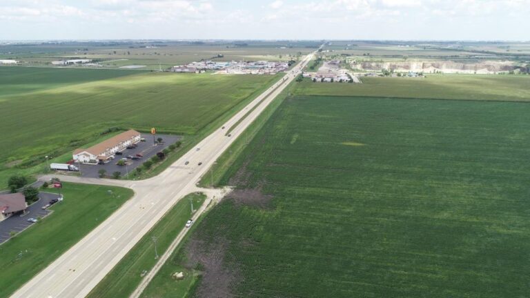
Illinois Route 38 is the north border of the property, Interstate 39/U.S. Route 51 is 3/4 mile east, Interstate 88 is 1 1/2 miles south, and Illinois Route 64 is 5 miles north of the property.
legal description
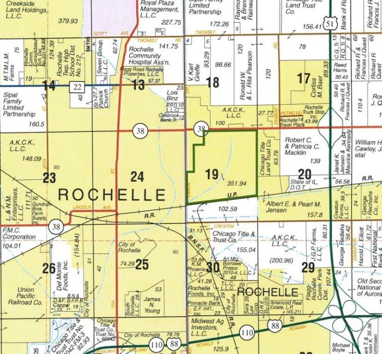
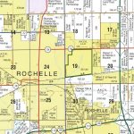
A brief legal description indicates The Route 38 Farm is located in Part of Section 19, Township 40 North – Range 2 East (Dement Township), Ogle County, Illinois.
total acres
There are a total of 351.94 acres, more or less, according to the Ogle County Assessor’s Office.
tillable acres
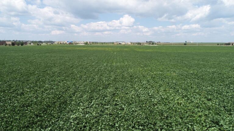
There are approximately 340.99 tillable acres according to the Ogle County FSA.
soil types
Major soil types found on this farm include Drummer silty clay loam and Hooppole loam.
FSA Data
Detailed FSA information can be found in the brochure.
topography
The topography of the farm is level to nearly level.
location climate growing season
Ogle County has a continental climate typical of northern Illinois. The average length of the growing season is nearly 142 days. On average we expect about 2,854 growing degree days from April 15 through September 30. Annual precipitation averages about 34" with over 2/3 of this coming during the growing season. Snowfall averages about 33" per year. Prevailing winds are from the west and southwest. This climate, combined with the generally excellent soils in this area, provides a nearly ideal environment for the production of corn and soybeans.
mineral rights
All mineral rights owned by the seller will be transferred in their entirety to the new owner.
possession
Possession will be given at closing, subject to the terms and conditions set forth in a purchase contract.
price terms
The asking price is $16,500 per acre. The owners are seeking a cash sale. A 10% earnest money deposit should accompany any offer to purchase.
financing
Mortgage financing is available from several sources. Names and addresses will be provided upon request.
taxes
The 2017 real estate taxes totaled $15,177.26. The tax parcel numbers are #25-19-126-003, #25-19-200-004, #25-19-200-006, and #25-19-200-007.
zoning
Property is zoned B2 (Commercial - Highway), R5 (Multi-Family High Density Residential), RD (Rural Development), and PUD-I (Planned Unit Development - Industrial).
comments
Excellent development potential. Owner will consider offers on less than the entire parcel.