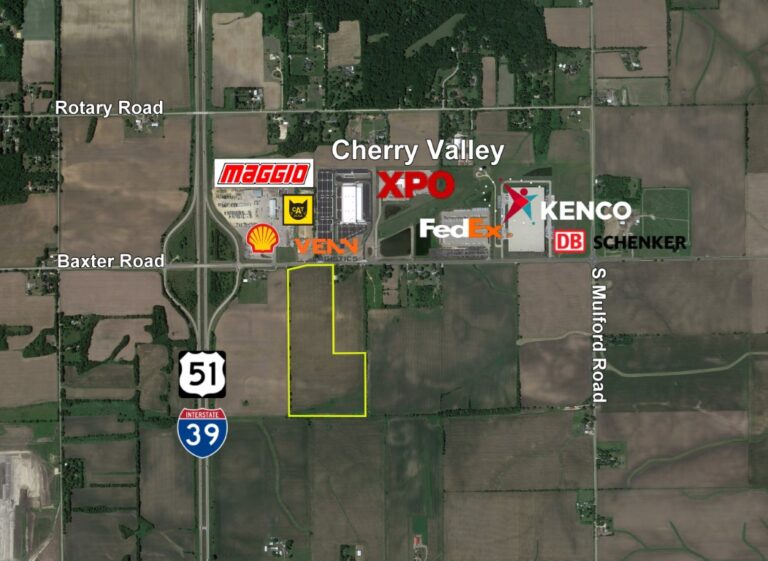


Property Details
location
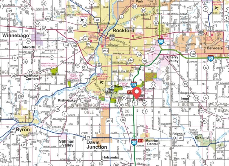
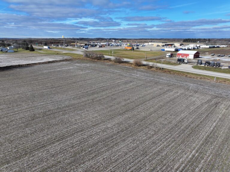
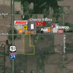
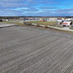
The subject farm is located approximately 58 miles northwest of Chicago O’Hare International Airport and is within the village of Cherry Valley. Nearby towns include New Milford (2 miles west), Monroe Center (3 1/2 miles south), and Rockford (3 1/2 miles west).
frontage
There is approximately 5/32 mile of road frontage on Baxter Road.
major highways
Interstate 39/U.S. Route 51 is 1/4 mile west, U.S. Route 20 is 3 3/4 miles north, and Illinois Route 72 is 4 miles south of the property.
legal description
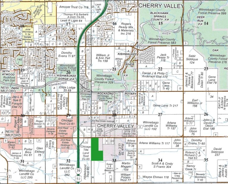
A brief legal description indicates The Cook Farm is located in Part of the Northwest Quarter of Section 33, Township 43 North – Range 2 East (Rockford Township), Winnebago County, Illinois.
total acres
There are a total of 60.25 acres, more or less, according to the Winnebago County Assessor’s Office.
tillable acres
There are approximately 60.83 tillable acres according to the Winnebago County FSA.
soil types
Major soil types found on this farm include Backbone loamy sand and Rockton and Dodgeville soils.
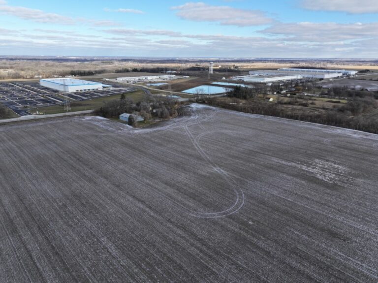
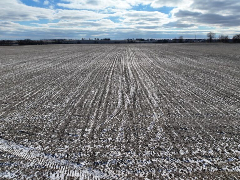
topography
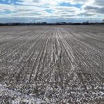
The topography of the subject farm is level to gently rolling.
mineral rights
All mineral rights owned by the seller will be transferred in their entirety to the new owner.
possession
Possession will be given at closing, subject to the terms and conditions set forth in a purchase contract.
price terms
The asking price is $29,900 per acre. The owners are seeking a cash sale. A 10% earnest money deposit should accompany any offer to purchase.
financing
Mortgage financing is available from several sources. Names and addresses will be provided upon request.
taxes
The 2023 real estate taxes totaled $1,423.94. The tax parcel number is #16-33-100-013.
grain markets
There are a number of grain markets located within 15 miles of The Cook Farm.
zoning
The Cook Farm is zoned IL - Industrial Light. Subject to Village of Cherry Valley approval, permitted uses include but are not limited to: production, processing, servicing, repair or storage, public & community service, accessory use, warehousing and wholesaling.